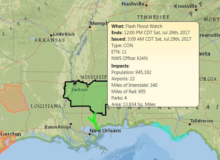
Cooler weather on the way, but not before central and south Mississippi take a beating.
Rolling thunderstorms could drop up to 3 inches of rainfall leading to flash flooding across areas of the Pine Belt that have seen flooding trouble in the previous weeks.
A flash flood watch has been issued across the Pine Belt until midnight Saturday.
These heavy rains are a product of a weak cold front laying into the still, humidity-laden air that’s drawing out massive amounts of precipitation. This mixture will settle over the coastal counties and bring wet conditions for the next several days.
Silver lining, though: things WILL BE COOLER. Relatively cooler for the end of July, that is.


