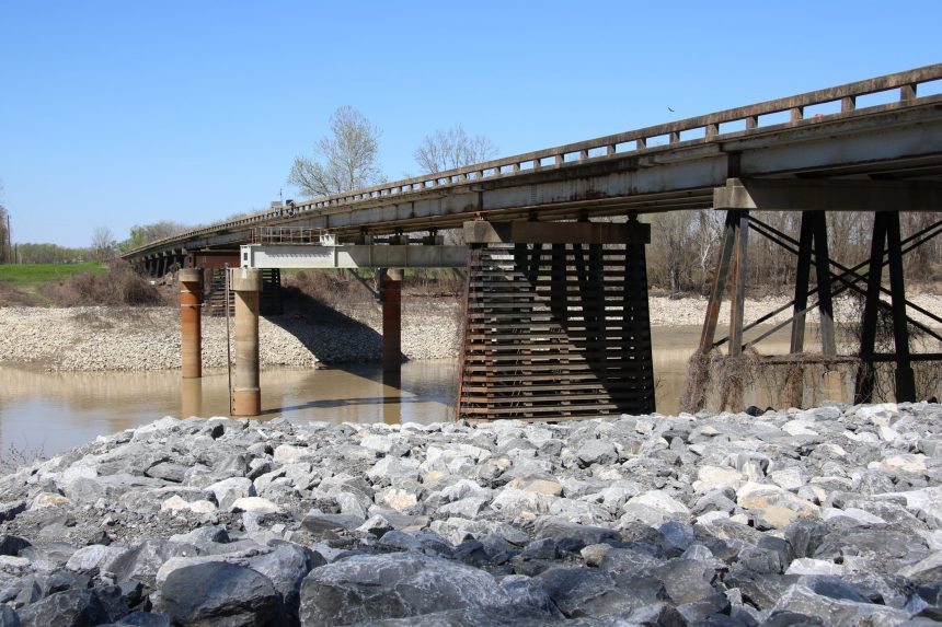
STORY COURTESY OF THE U.S. ARMY CORPS OF ENGINEERS
The U.S. Army Corps of Engineers Vicksburg District anticipates the need to close the gates of the Steele Bayou Control Structure, located approximately 10 miles north of Vicksburg, Mississippi, within the week.
Heavy rainfall across the region during the past two weeks has elevated the Mississippi River and its tributaries. The majority of the state of Mississippi has received above average rainfall during the past 30 days, with some areas receiving two-to-three times their typical amount of rainfall. This heavy rainfall has elevated the lower Mississippi River to above average levels for this time of year.
The Steele Bayou Control Structure, combined with the Mississippi River and Yazoo Backwater levees, prevents the Yazoo and Mississippi rivers from backing up and further flooding the Delta.
According to data from technical analysis, district engineers have determined that using temporary pumps to drain the Yazoo Backwater area would have negligible impacts on lowering water elevations.
The district continues to collaborate with its local, state and federal partners to develop and deliver permanent, sustainable flood control solutions to the south Delta.
According to the National Weather Service forecast, the Mississippi River at Vicksburg will crest at 41 feet Jan. 10 and will be above flood stage by late January. Forecasts also indicate that water elevations in the Yazoo Backwater area will peak at approximately 88 feet within the next two weeks.
District personnel and their local partners will continue to monitor the conditions of flood control works, including levees, flood walls and pumping stations, across the entirety of the district’s jurisdiction.
The district’s four north Mississippi flood control reservoirs – Enid, Grenada, Sardis and Arkabutla lakes – are being used to hold runoff, or excess rainwater, as a flood-prevention measure.
Citizens are encouraged to contact local authorities and management officials for updates about conditions in their area and should avoid activities on or near flood control works.
The Vicksburg District encompasses a 68,000-square-mile area across portions of Mississippi, Arkansas and Louisiana that holds seven major river basins and incorporates approximately 460 miles of mainline Mississippi River levees. The district is engaged in hundreds of projects and employs approximately 1,100 personnel.


