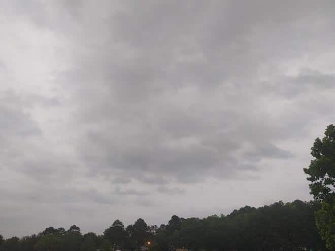
North Mississippi waking up on a humid and cloudy Tuesday morning. Your high ticking into the upper 80s today as you catch a short break in the continuous rain that’s been marking your days lately. Don’t expect that to last too long, though: starting tomorrow, you could be seeing the effects of this storm in the Gulf, currently known as Potential Tropical Cyclone #3.
Central Mississippi looking at scattered showers and thunderstorms today: around a 40% coverage through sunset. Look for a relatively quiet overnight, but things kick up again tomorrow as that cold front lands: bringing thunderstorms and highs sitting in the upper 70s. Behind that, that tropical system will dump heavy amounts of rain later in the week.
South Mississippi in for a gullywasher the rest of the week, you’re looking at potentials for flash flooding as steady rains marked with some embedded thunderstorms continue over the next several days. That tropical system also adding to your grief as it nears the shore.


