Radar image courtesy of NWS
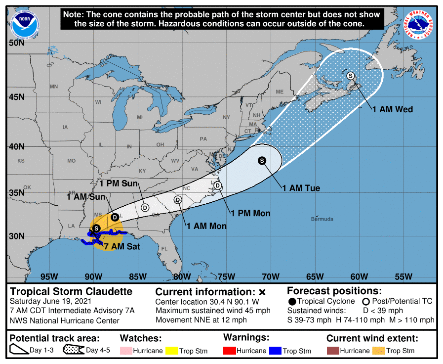
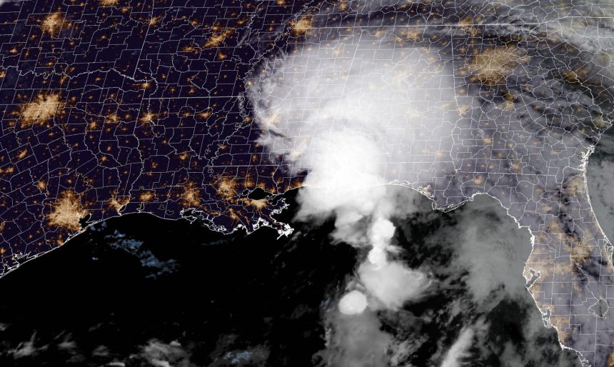
Tropical Storm Claudette made landfall along the Louisiana Coast overnight, and as it moves further inland, it will continue to bring heavy rainfall and strong winds to portions of Mississippi.


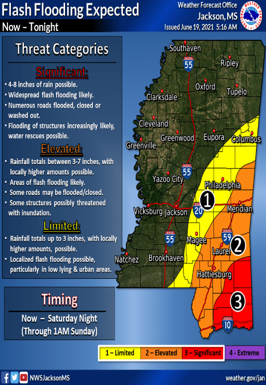
The latest projections show the storm continuing to move east with the National Weather Service stating that anywhere between 4-8 inches of rain is possible in South Mississippi with lower totals expected from the Pine Belt up toward Columbus.

Winds associated with Tropical Storm Claudette have reached 45 mph. The NWS predicts that the threat of flash flooding will last “through at least mid-day” with the storm weakening to a tropical depression by tonight before becoming a post-tropical cyclone on Sunday.
This represents the first named storm of the 2021 Hurricane Season to impact Mississippi. Make sure you stay weather aware and have your disaster plan prepared as another busy season is expected.


