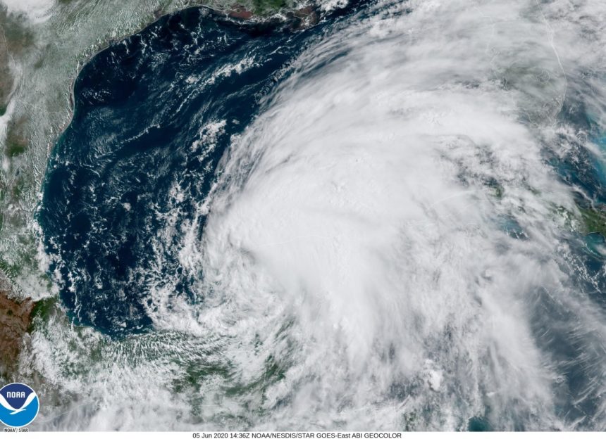
As Tropical Depression Cristobal tracks farther inland, portions of Mississippi can expect heavier rain throughout the day.
“Currently, it’s right over northeast Louisiana,” NWS meteorologist David Cox explained. “We still are expecting heavy rain, and there still could be some gusts potentially 30 or 40 miles per hour or so across central and north Mississippi.”

As the depression travels north towards Canada, the storms with tornado potential due to the day’s higher temperatures look to hit the central and north regions of Mississippi by the afternoon hours.
“For central and north Mississippi…the heavier stuff will probably be into the afternoon more,” Cox continued.
The coast should expect showers throughout the day. However, yesterday’s five to seven inches of rainfall should be the worst the region will see from Cristobal.
According to the Mississippi Emergency Management Agency’s executive director, Greg Michel, the coast was more than prepared for Cristobal’s effect.
“They had been planning and preparing for this for quite a while,” Michel said. “They were ahead of the ballgame on this. We didn’t have any issues last night with any water rescues, and again, that’s a testament to their level of experience and what they anticipate.”
In total, Hancock, Harrison, and Jackson counties each had over 200 roads flood, and 17,000 people along the coast have experienced power outages as of 5:00 this morning.
While Cristobal did not turn out to be too detrimental for Mississippi, Michel wants residents to know that this is not the last, named storm we will see during the 2020 Atlantic Hurricane Season.
“Reality is we are going to have an active season.”


