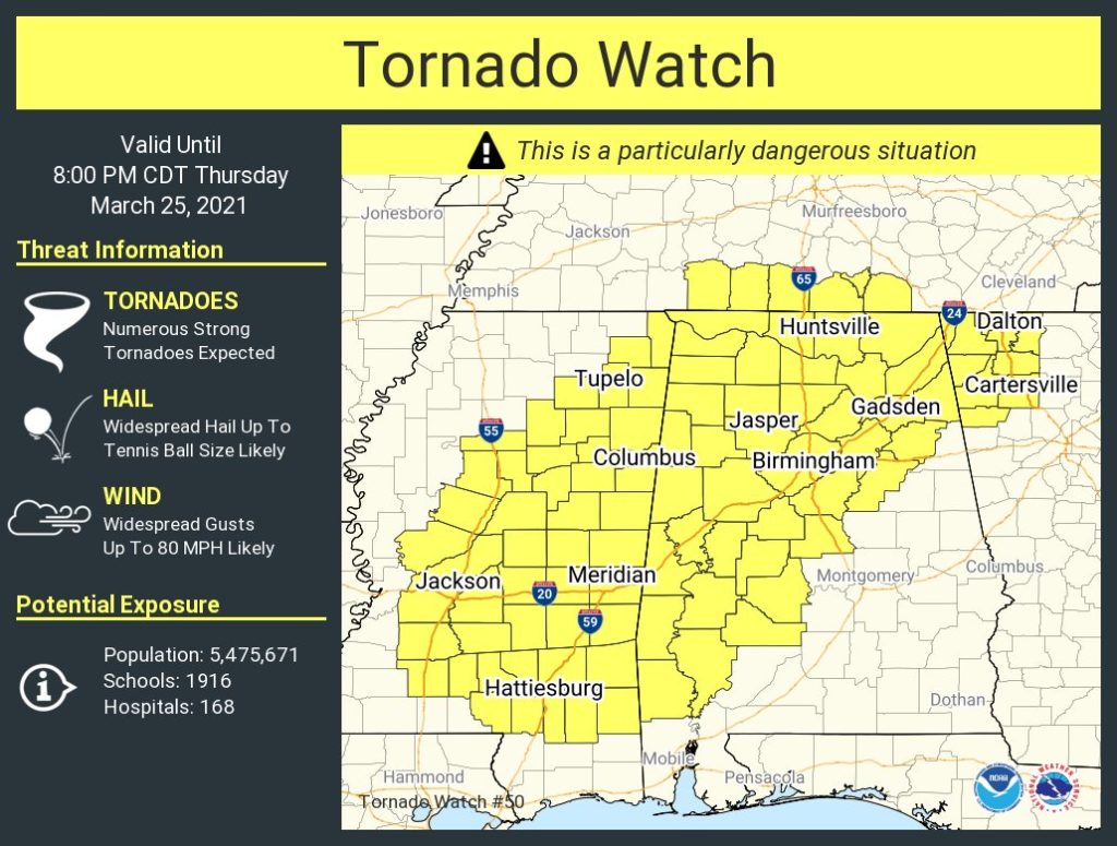
As the severe weather event begins to intensify across the state, a large portion of Mississippi has been placed under a tornado watch by the National Weather Service until 8 p.m.
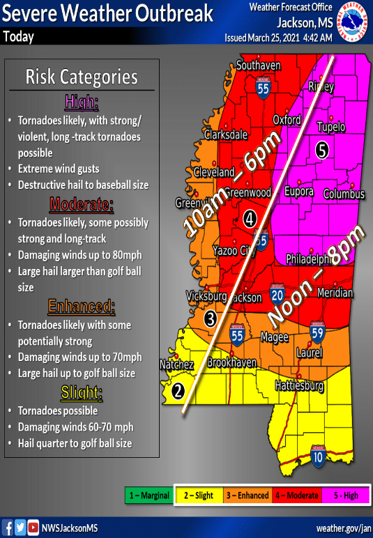
Additionally, the Mississippi Emergency Management Agency is warning that Northeast Mississippi is now included in a “level 5, high-risk area.”

While the threat may be greatest in this area, all portions of Mississippi could face severe weather throughout the day into Thursday evening.
Director McCraney has an update on today’s severe weather threat. Please stay alert throughout the day and have more than one way to receive warnings! #mswx pic.twitter.com/xANjIkWp5K
— msema (@MSEMA) March 25, 2021
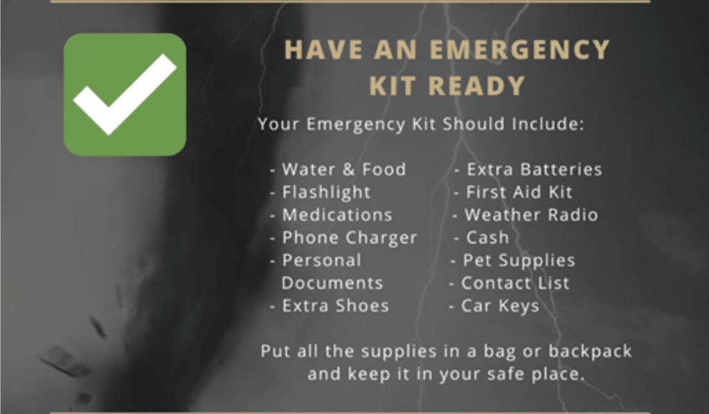
Now is the time to prepare your safety plan and your emergency kits.


