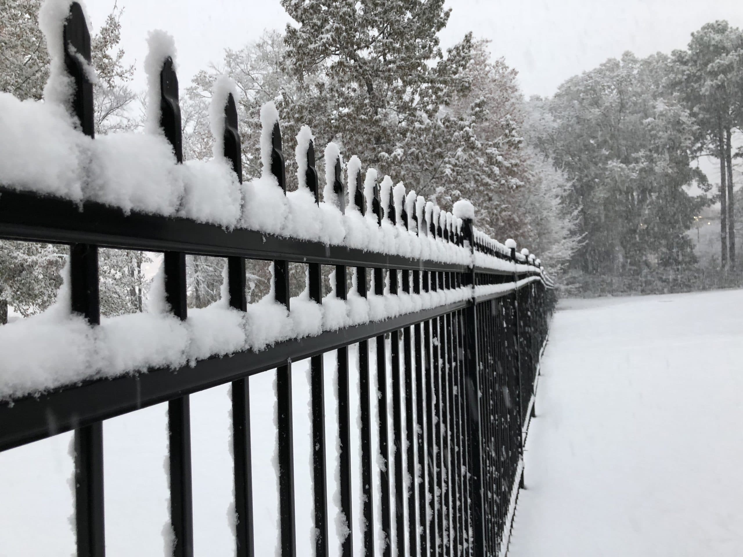
Winter weather has arrived in the form of a fresh sheet of snow across south and central Mississippi. After it began late Thursday night, many are waking up to the first snow of the season.
Friday morning, the NWS increased their snow totals with south-central Mississippi set to receive up to four inches by the late morning.
The National Weather Service in Jackson has been sharing updates and photos of snowfall from across the state.
As of 9 AM, Jackson has now received 4.9″ of snow. This is the highest daily snowfall and the highest storm total snowfall since January 1982. ❄️❄️❄️
— NWS Jackson MS (@NWSJacksonMS) December 8, 2017
Winter Storm Warning expanded to include the Jackson and Natchez areas. Winter Weather Advisory now includes Vicksburg, Golden Triangle. pic.twitter.com/Xz562c0wCF
— NWS Jackson MS (@NWSJacksonMS) December 8, 2017
2.5″ of snowfall so far at the airport. This is the most snow in Jackson since February 11th and 12th 2010.
— NWS Jackson MS (@NWSJacksonMS) December 8, 2017
@NWSJacksonMS Raleig, MS. Limbs starting to snap and fall. pic.twitter.com/hVgpOQfcR1
— Matt Hardin (@HardinMatt) December 8, 2017
#snow A #Christmas #miracle ! @NWSJacksonMS @HeatherSophiaTV pic.twitter.com/7Fwu3JgoeU
— Steve Wilson (@gulfcoastsage) December 8, 2017
@NWSJacksonMS I put this sign out every year in Brandon and it happened today! pic.twitter.com/Rt5UAtz4RI
— Kristen K. White, PhD (@okgal4ever) December 8, 2017
1.25″ in Mannsdale area of Madison @NWSJacksonMS at 6:25am. pic.twitter.com/36WJ3YgaKB
— Mike MacGown (@MikeStormchaser) December 8, 2017
Mendenhall,MS #mswx @NWSJacksonMS @HeatherSophiaTV pic.twitter.com/8X5jiqr5sy
— shannan (@shannantoombs) December 8, 2017
@NWSJacksonMS @PatrickEllisWx measured on the roof top. Still coming down heavy #clinton#mswx pic.twitter.com/rRQxo1bziV
— Stephen Manning † (@Manning_22) December 8, 2017
2:30 AM Radar update: Light rain continues to transition to light snow across much of the area. Dry air in the northern part of our area is currently limiting the amount of precip reaching the ground north of I-20. pic.twitter.com/1VH3lF1szG
— NWS Jackson MS (@NWSJacksonMS) December 8, 2017


