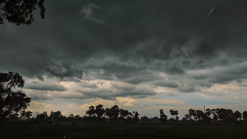
Officials with the Mississippi Emergency Management Agency are warning of a low-level risk that severe weather could strike portions of the state on Monday afternoon.
The National Weather Service has placed the severe storm risk as “marginal” and does not expect severe systems to be widespread. Damaging winds and up to quarter-size hail are possible.

The National Weather Service has forecasted a marginal risk for the central part of Mississippi this afternoon and evening (4.21.25). Damaging winds 💨 and hail ☄️ cannot be ruled out. Please stay weather aware. ⛈️📲 pic.twitter.com/0unD6f8JWl
— msema (@MSEMA) April 21, 2025
According to NWS Jackson, rain chances in most of central Mississippi will gradually increase throughout the morning into the afternoon as a “front begins to stall across our area.” The risk will stretch as far northeast as Tishomingo County and as far south as Pearl River County, according to the most recent models.
“We can’t rule out a few strong storms this afternoon into early this evening, but no widespread severe weather is expected.”
The threat is projected to span from 3 p.m. to 10 p.m. Monday.
NWS Jackson is also warning those on the Gulf coast that current weather conditions have resulted in high rip current risks until Tuesday.