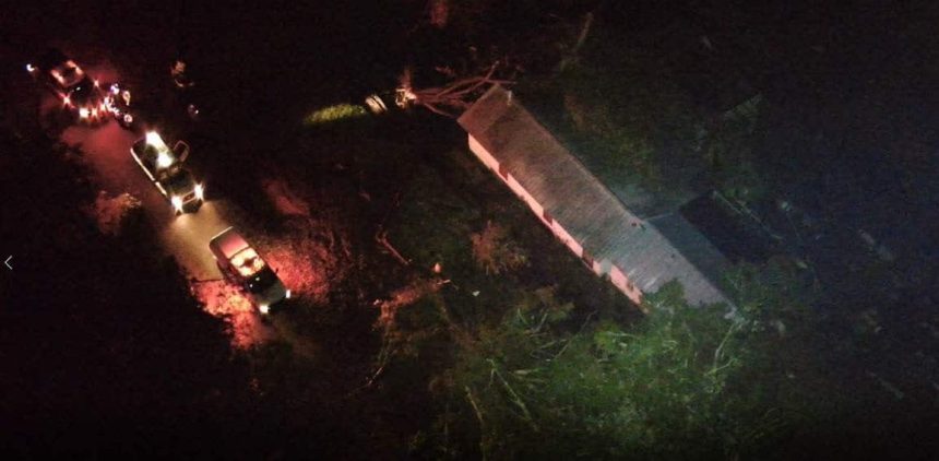
Severe thunderstorms capable of producing damaging wind gusts up to 70 mph, hail to the size of golf balls, and tornadoes are likely this afternoon into this evening.

One to three inches of rainfall in less than three hours may lead to flash flooding.

Here’s a look at your statewide forecast:
To the north, a chance of morning showers and thunderstorms, then showers and thunderstorms likely in the afternoon. Some may be severe. Highs in the lower 80’s. Cloudy tonight with a chance of showers and thunderstorms, then a slight chance of showers and thunderstorms after midnight. Lows in the mid to upper 50’s.
In central Mississippi, a chance of morning showers and thunderstorms, then showers and thunderstorms likely in the afternoon. Some may be severe. Highs in the lower to mid 80’s. Cloudy tonight with showers and thunderstorms likely, then a chance of showers and thunderstorms after midnight. Lows in the lower 60’s.
To the south, a chance of morning showers and thunderstorms, then showers and thunderstorms likely in the afternoon. Some may be severe. Highs in the mid 80’s. Showers and thunderstorms likely tonight and after midnight. Lows in the mid 60’s.


