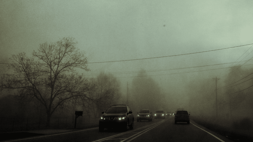
Three people were reportedly injured during severe storms in north Mississippi Friday night. Forecasters expect the impacts to worsen across the state through Saturday.
Mississippi Emergency Management Agency (MEMA) officials say that an intense storm cell rolled across Issaquena County and exited in Itawamba County, causing “significant damage” in Calhoun, Carroll, Grenada, Humphreys, Leflore, and Montgomery counties.

In a Saturday morning social media post, Governor Tate Reeves noted that Grenada County appears to be the hardest hit area, with major damage sustained in the Elliot and Gore Springs communities. An emergency storm shelter has been opened at the Grenada City Auditorium for those in need.
I want to provide an update on the severe weather that impacted Mississippi last night.
Preliminary reports indicate three people were injured and hospitalized in Grenada County. This number is expected to increase. Mississippi is praying for those healing. @MSEMA has… pic.twitter.com/likMDluYrn
— Governor Tate Reeves (@tatereeves) March 15, 2025
As the governor pointed out in the post, forecasts point to the weather only getting worse on Saturday. Large, strong, long-track tornadoes are possible, along with damaging winds, large hail, heavy rain, and severe thunderstorms.
‼️Severe Weather Outbreak‼️
The National Weather Service has forecast a high risk of severe weather in Mississippi today (3/15/25).
Please take this weather seriously.
Mississippi could see:
🌪️Large, strong, long track tornadoes
🌬️Damaging wind gusts
🌧️Large Hail
📲Monitor… pic.twitter.com/3ALO96UHca
— msema (@MSEMA) March 15, 2025
To stay weather aware, see the National Weather Service in Jackson’s up-to-the-minute radar page.