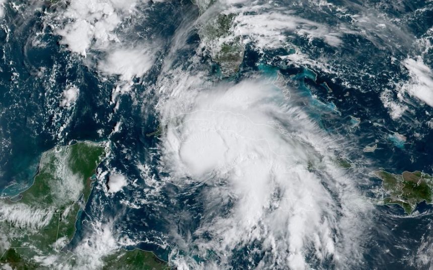
Hurricane season begins Saturday and is projected to bring above-normal activity.
The National Oceanic and Atmospheric Administration (NOAA) predicts an 85% chance of an above-normal season in the Atlantic basin from June 1 to November 30. As many as 13 storms could form into hurricanes – defined as storms with winds of 74 miles per hour or higher.
The expected high activity is due to a number of factors, including warm waters in the Atlantic, La Nina conditions in the Pacific, and reduced winds with less wind shear in the Atlantic Ocean. All of these are known to contribute to tropical storm formation.
Experts warn that the conditions point to a near certainty of more extreme storms this season.
“If you start with an Atlantic water temperature profile that is like last year, or maybe even a little more extreme than last year, and take away the diminished effect of the El Nino, you’re going to get more,” Hurricane specialist Bryan Norcross told FOX Weather.
In mid-May, the Mississippi State Legislature allocated $5 million to the Comprehensive Hurricane Damage Mitigation Program. The program was launched by the Mississippi Insurance Department in 2007 and received funding for the first time during the 2024 legislative session after being stamped by Governor Tate Reeves.
Policyholders in Mississippi’s lower six counties, the most vulnerable to hurricane activity, will receive relief through the program. Other mitigation efforts such as hurricane shutters, storm straps to fasten roofs, building at higher elevations, and the purchase of flood insurance can be funded through program grants.
Further details will be publicly available when the grant application website is live, according to Insurance Commissioner Mike Chaney.
The last major hurricane to hit Mississippi was Hurricane Ida on August 29, 2021, making landfall exactly sixteen years after the landfall of Hurricane Katrina.


