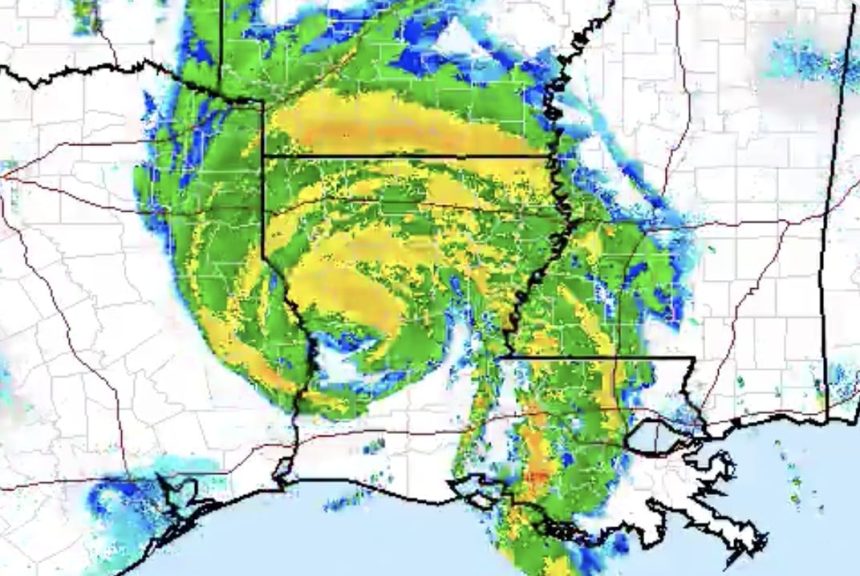
Radar image courtesy of NWS Eastern Region/Twitter
After making landfall along the Louisiana coast as a Category 4 hurricane early this morning, Laura has now weakened and been downgraded to a Tropical Storm.
According to the National Weather Service, the storm is still powerful with maximum sustained winds of up to 70 mph.

As of 1 pm EDT Laura has weakened to a Tropical storm with max winds of 70 mph. Laura is located 50 mi east-southeast of Shreveport LA and continues to move to the north at 15 mph. Here is a look at a radar view of Laura’s landfall and path through Louisiana. pic.twitter.com/THaHbAXgz4
— NWS Eastern Region (@NWSEastern) August 27, 2020
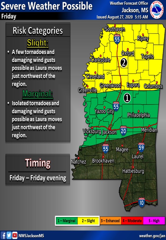
There is still heavy rainfall associated with the storm, and the NWS and the Mississippi Emergency Management Agency are warning of potential flash flooding across Mississippi for the remainder of today and Friday.
Along with the tornado risk and threat for strong wind, there will also be the chance for heavy rainfall resulting in flooding today through tomorrow. Areas in southwest and northern MS are particularly at risk and could pick up anywhere from 3-6 inches of rain from #Laura. #mswx pic.twitter.com/oxA38I9jPc
— msema (@MSEMA) August 27, 2020
Strong winds and spin-up tornados are also a possibility on Friday, so continue to stay weather aware as Laura continues along its path.


